City Logistics & Delivery Infrastructure
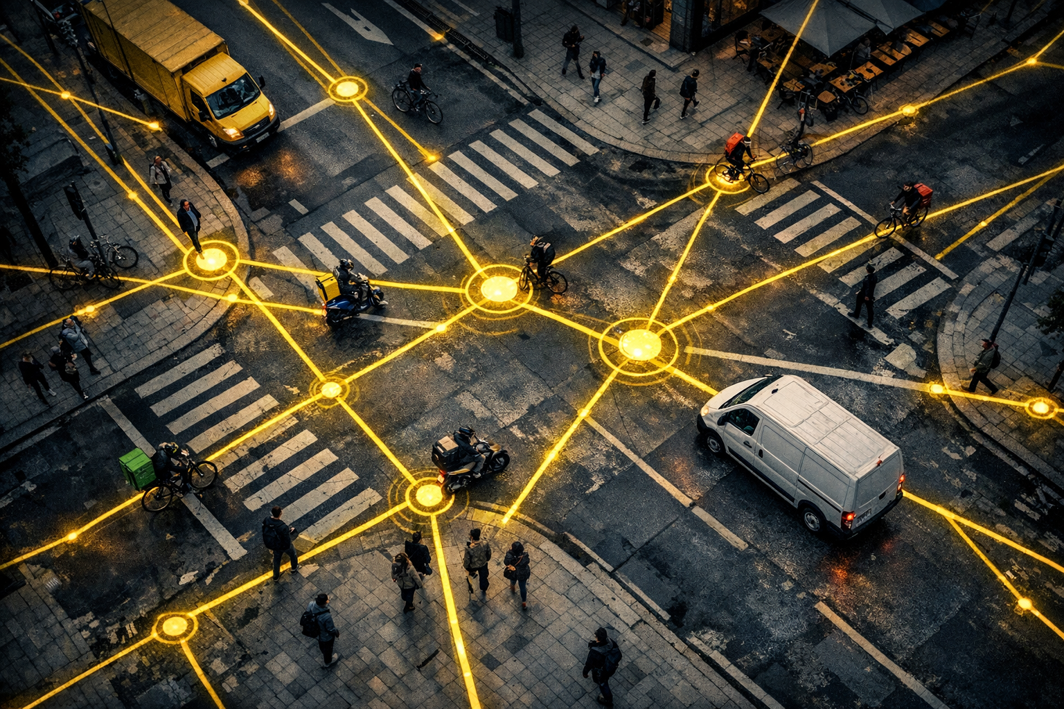
Urban delivery systems for food — and sandwiches in particular — depend on a layered infrastructure that most customers never see. At the core of every successful delivery is a sophisticated interplay between physical city design, digital dispatch technology, and human courier networks.
American cities have become testing grounds for increasingly efficient last-mile delivery models. Chicago's grid layout, New York's density, and Los Angeles's sprawl each present entirely different logistical challenges — and sandwich delivery operations must adapt their routing, vehicle choices, and staffing models accordingly.
The logistics backbone includes dispatch software that tracks courier positions in real time, machine-learning algorithms that predict order surges before they happen, and zone-based delivery models that assign couriers to geographic cells rather than individual addresses — reducing empty travel time dramatically.